

A group of students really helped put Gallaudet on the map last month.
They presented three projects at the Esri Federal GIS Conference, which highlighted how government agencies are using geographic information system software — a technology that combines location data with other details to help identify trends and problems. The event, held February 7-8 at the Walter E. Washington Convention Center in downtown Washington, was an opportunity for students to show what they have learned through courses developed in conjunction with the National Geospatial-Intelligence Agency (NGA).

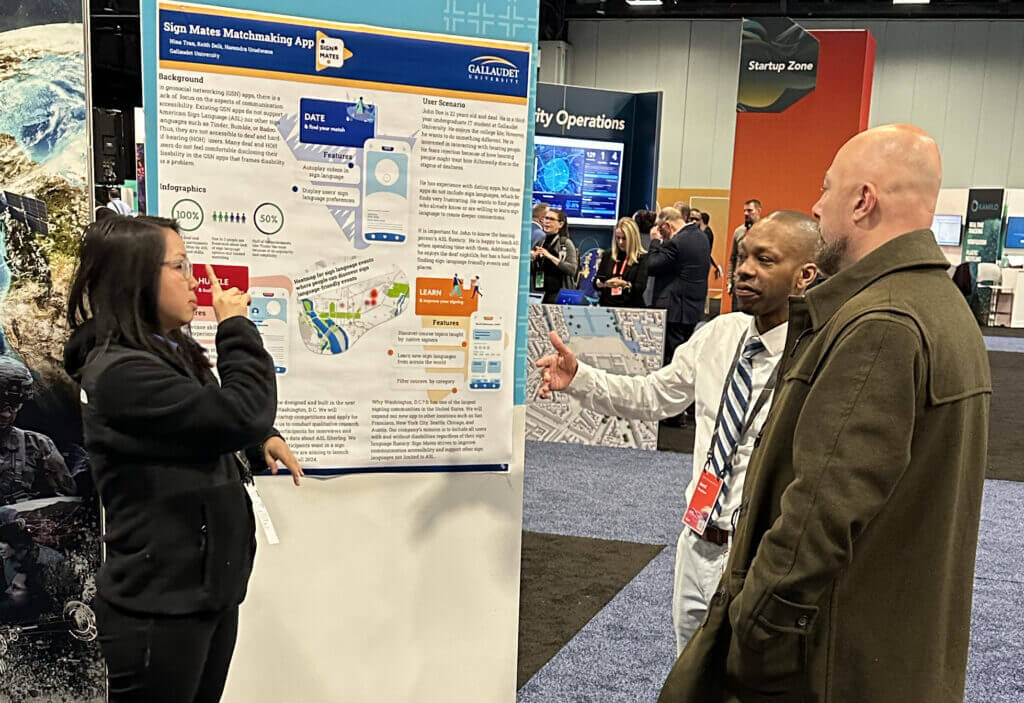
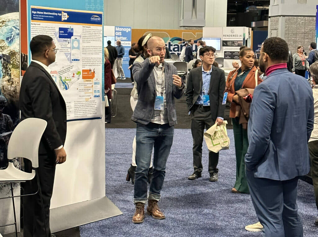
The student presentations covered a wide range of subjects, proving how versatile GIS can be, says Harendra Udurawana, a master’s degree student in the new Accessible Human-centered Computing. Last semester, he and two classmates – Nhan “Nina” Tran and Keith Delk – began developing an app called SignMates that aims to play matchmaker for deaf people or hearing people who know American Sign Language. Location data will help the app figure out if it is convenient for users to meet up in real life. “You can also connect with friends and use it professionally to network,” Udurawana says.
For Udurawana, being at the Esri conference was a chance to boost visibility both for the project and Gallaudet. “It proves we’re able to do things like this,” he says. “We have the aptitude and the skill set.” The app got loads of positive feedback, adds Delk, who was impressed by the level of interest in accessibility at the conference. “I love the saying, ‘What a time to be alive.’ More opportunities for people who are deaf is becoming a priority,” Delk says.
Sharing their work with crowds of people was intimidating at first, says undergraduate student Ming Li. “But I breathed through the moment, and I got over it,” says Li, who co-presented with classmate Zehui Liu on “Evolving Gallaudet University Student Population Across the U.S. and Worldwide, 2000-2022.” The project required gathering data about enrollment and then using their findings to create several maps. “The maps showed the data in a visual way, so it was easy to read,” Liu says. He hopes people who came to their presentation felt the same way about him. “I was trying to sign articulately and clearly. It was a great experience for me,” he adds.
There was so much to learn and observe at the conference, says undergraduate Matthew Thompson, who presented on “Human Interactions with Nature and Climate.” His interest is in ecology, particularly climate change and how the earth is warming. “It’s not just the air, but also the ocean temperature,” says Thompson, who collected data showing how and where these changes are affecting coral reefs. He sees several potential uses of GIS technology in his future fieldwork, and he is eager to explore how it can be used for predictions as well as analysis.
Udurawana adds that his team is also looking forward to taking advantage of the latest technological advances for SignMates. The plan is to test the app this summer, and then continue to grow the idea. “Fortunately, we are able to take classes to keep us motivated,” he says.